Stream Visual Assessment Protocol (SVAP)
Waterways are crucial elements in our appreciation of outdoor beauty, the maintenance of healthy ecosystems, managing and preventing floods, and supporting agriculture and other economic pursuits. A basic assessment tool is the Stream Visual Assessment Protocol, developed by the Aquatic Assessment Workgroup of the Natural Resources Conservation Service (NRCS). This protocol is intended as just that: a basic or beginning evaluation, ideally to be accompanied by other methods and data.
The methods of the Stream Visual Assessment Protocol score these criteria:
- channel condition.
- hydrologic alteration.
- riparian zone.
- bank stability.
- water appearance.
- nutrient enrichment.
- barriers to fish movement.
- instream fish cover.
- pools and riffle-run-pool sequences.
- aquatic invertebrate habitat.
The result is an overview of stream condition regarding capacity to store precipitation from normal and abnormal events, ability to support diverse plants and animals similar to a natural state, maintenance of a dynamic equilibrium in sediment movement and storage over time, and degree of natural functioning.
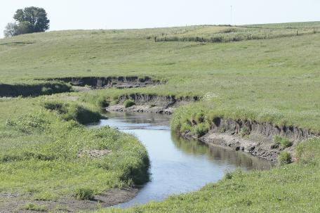
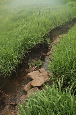
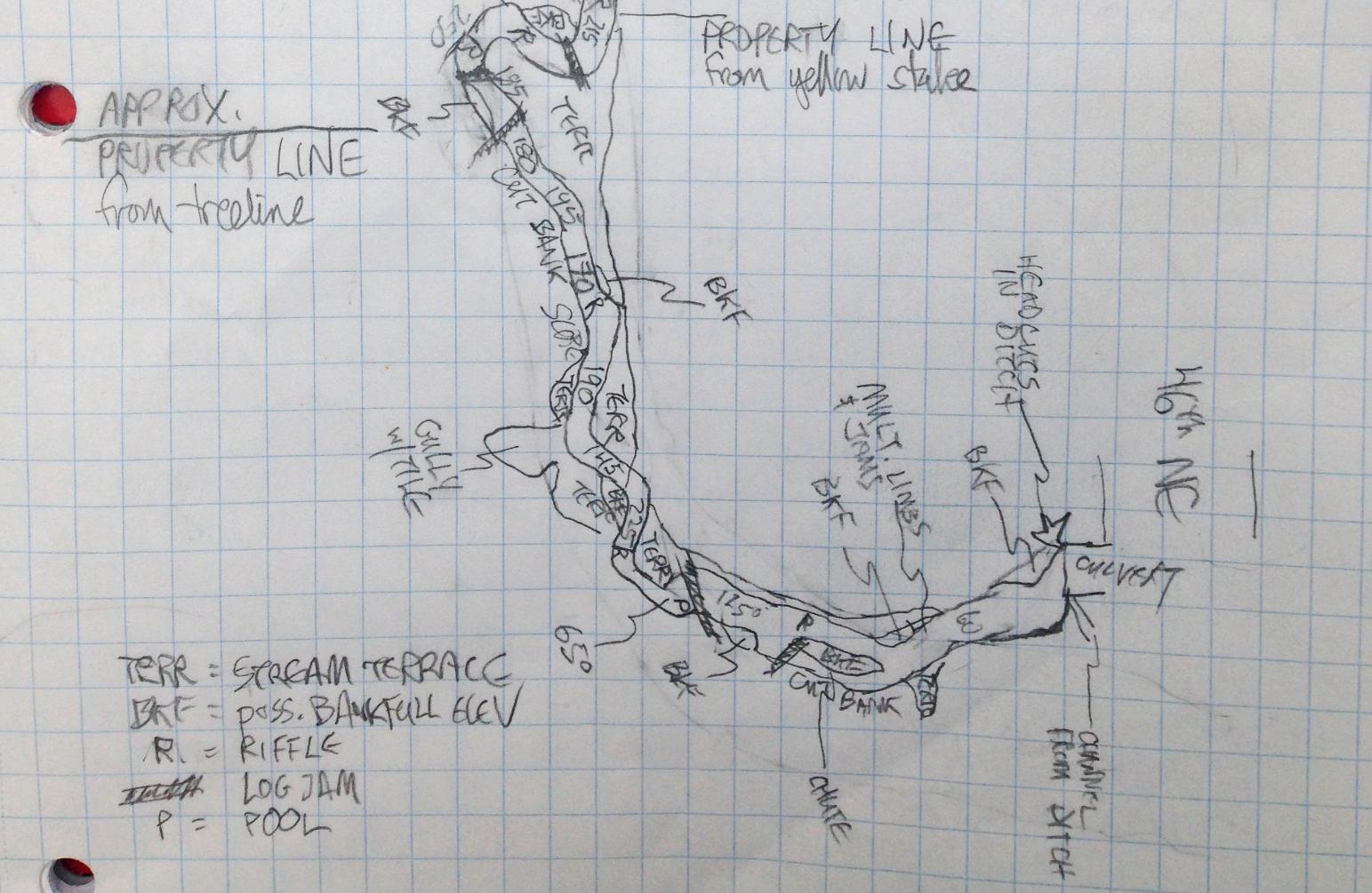
When conducting a visual assessment of a stream reach, Leeward records details about the stream features at each data point along the reach. In addition, photographs of the overall stream and of features accompany the field records and are used to illustrate reports.
The key NRCS document, "Stream Visual Assessment Protocol," is available at this link.